Products » Display Applications
Place specific spraying
Product details
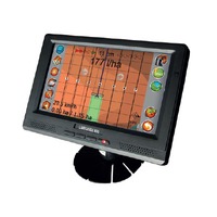
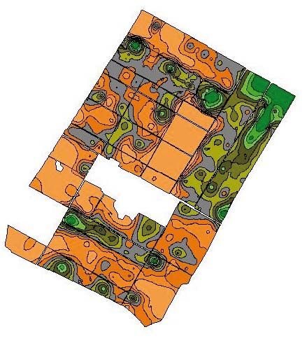 You can load spraying maps made on the base of output map or soil sample drawing map into the LD-Agro LineGuide GPS devices. The maps in shape format are to be manually made for example with Farmworks software or with service providers dealing with soil analysis. After this you can read with meter accuracy the quantities are to be sprayed out from the display of the lineguidance and you can achieve the place specific spraying cost-effectively without expensive equipments.
- Home
- News
- Dealer Locator
- Meet with us
- Previous exhibitions
- Download
- About LD-Agro
- Contact
- Privacy policy
- Privacy statement
© 2024 LD-Agro Technologies Ltd. - All rights reserved. - ,,Professional GPS technology for agricultural use!“




 Office
