Products » GPS Area Measure Meter
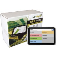
LD-Agro GPS Mapper
Product details
Are you always uncertain about the actual dimensions of your land without a GPS land surveying instrument? Boundary disputes, field control of seasonal works, wildlife damage, the accurate measurement of bottomland area? Use the LD-Agro GPS Mapper land surveying instrument.
| Area measurement accuracy | ~1% |
| Accuracy of point recording | 2-3m |
| Correction signal | EGNOS |
| Coordinate systems | EOV, WGS84 |
| Satellite Signals | FREE |
| GPS Receiver | build-in |
| Google Earth | KML format for MAPS |
With the land surveying instrument, it is easy to check the actual dimensions of the field
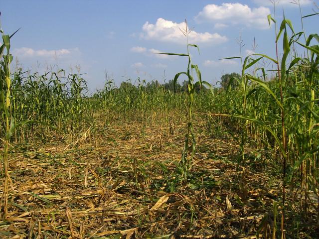
 Without using a land surveying instrument, it can happen easily that you do not get accurate, reliable results regarding the dimensions of your field, and it can make your job difficult. Would you like to know, how far has the shrubbery grown, or how far the neighbour ploughed beyond the boundaries of your field? Let it be the neighbour or the actual field size of the seasonal works, with the help of this land surveying instrument you can survey the given field in a minute.
The LD-Agro GPS Mapper has been developed with this very purpose. When surveying your field with GPS land surveying instrument, you get accurate results and actual field area within minutes. Use the LD-Agro GPS Mapper land surveying instrument, so you can avoid the disputes, and even can save money for your farm.
The GPS Mapper is an affordable, easy-to-use land surveying instrument
 The LD-Agro GPS Mapper works with about 1% accuracy when surveying the land. This land surveying instrument can be used when on foot or while driving. In both cases, the GPS Mapper records the distance covered, and then with the push of a button, you get the area of the given field in hectares, with an accuracy to four decimal places.
With the car holder and charger, you can take your land surveying device with you everywhere, so you never have to go without it. With the help of the USB synchronisation cable, you can easily save the data on your computer. You receive the land surveying instrument ready to work, you only have to switch it on, and begin surveying. The land surveying GPS is excellent for surveying area sections as well. Do you need your field to be surveyed due to wildlife damage or inland water?
The GPS Mapper land surveying GPS is suitable for surveying area sections as well
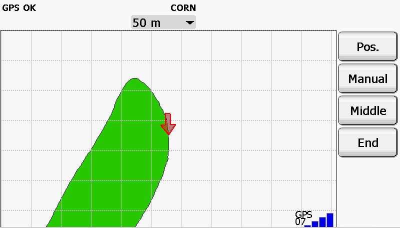
 Using the LD-Agro GPS Mapper, this is not a problem to you anymore. Since this land surveying instrument is suitable for surveying area sections, you can accurately determine the area of the sections as well. The recording of landmarks and corner points will not cause problems to you any more with this land surveying GPS.
An easy-to-use land surveying instrument
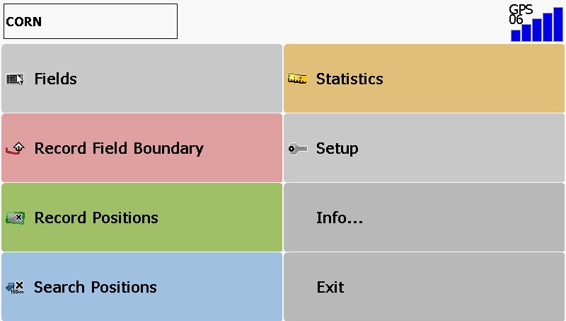
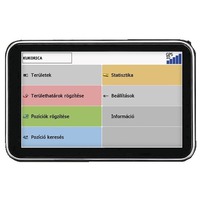
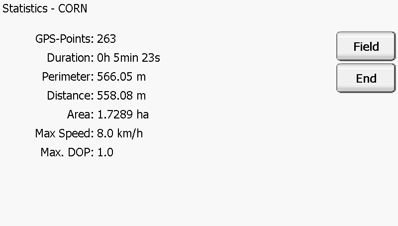 It is really easy to use the GPS Mapper device. After entering the field name (which serves to identify the field during the possible subsequent works on computer) in the land surveying software, you can begin surveying right away. While passing along the edges of the field, the land surveying instrument records the GPS data and when you are finished, you can read the accurate field dimensions on the display, with an accuracy to 4 decimal places.
You can record and save the corner points and the sampling points as well, either during the GPS surveying or subsequently. The land surveying instrument has an unlimited data storage and data retrieval function. The english language land surveying software and device of the land surveying instrument both contribute to its easy use.
GPS Mapper Parameters:
| Operation Systen | Windows CE 6.0 |
| Size | 150x70x13 mm |
| CPU | MStar MSB2531A, Dual Core ARM Cortex-A7 800 MHz |
| Internal Memory | 8 GB Flash, 256 MB DDR |
| External Memory | 2-4 GB MicroSD |
| Display | 5 inch TFT LCD |
| Display Resolution | 800x480 pixel |
| Battery | Li-ion |
| Weight | 255 gr |
The accessories of land surveying GPS include:
| - LD-Agro GPS Mapper Land Surveying Instrument | - Software on english language and user manual |
| - Car Holder | - USB cable |
| - Car Charger | - land surveying software on 2 GB SD card |
Do you want to avoid boundary disputes? It has never been so easy to survey your land. Do not worry about your neighbour, measure your lands simply and accurately, using GPS.
- Home
- News
- Dealer Locator
- Meet with us
- Previous exhibitions
- Download
- About LD-Agro
- Contact
- Privacy policy
- Privacy statement
© 2024 LD-Agro Technologies Ltd. - All rights reserved. - ,,Professional GPS technology for agricultural use!“




 Office


